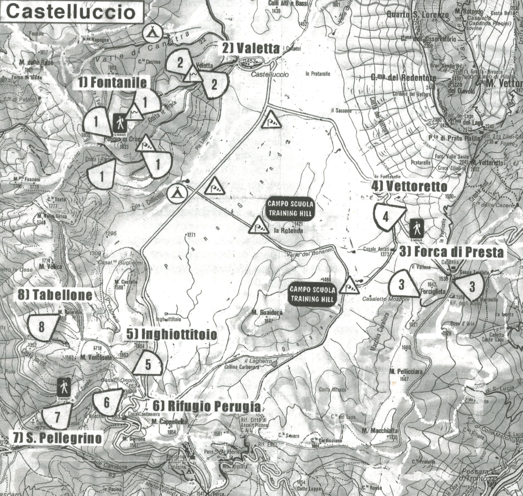
The take-off points are to be used only with prior authorization. Some points are accessible with an off-road automobile (# 8). Authorization from the Comune of Arquata del Tranto is required for the Forca di Presta take-off point (# 3); Park below and walk the 15- minute hike by foot. The condition of the road is fairly good. It is obligatory to notify the school in person or check in by radio at 146.800 MHZ before going to the take-off point.
Take-off directions: all
Altitudes in meters: from 1270 to 1806 m
Altitude of hill: from 360 to 580 m
Prohibited: flying over animals or grazing pastures
Favorable conditions for flight: light breezes from morning followed by turbulence.
Calm in the evening.